PARISH WALKS – Market Lane towards Audley End 2.5km/1.5m(approx.) – OS Explorer Map 230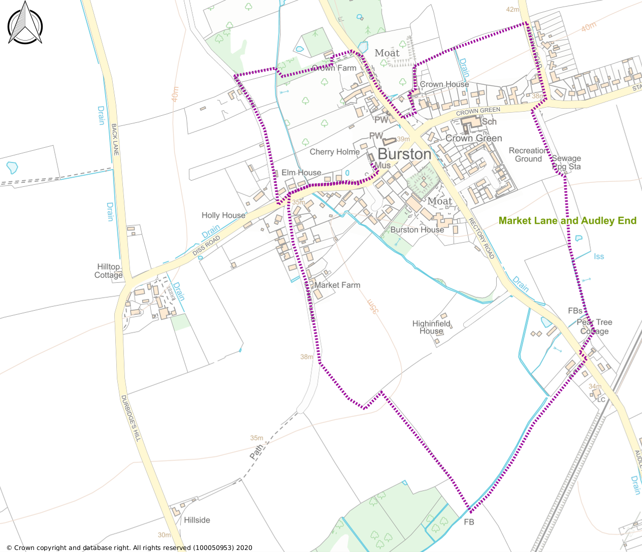 This walk starts in the village centre on Church Green before heading across open fields to Audley End then taking in a stop at the Burston Crown and finally a walk down a leafy green lane. Start at grid reference TM135832
From the parking area next to the Strike School on Church Green head west out of the village on Diss Road. After a bend cross the road into Market Lane which turns into a farm track. Bear left at the end of the farm track leaving the old Market Lane to wends its way over towards Diss. (photo 1)
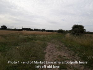
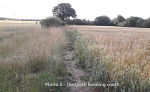
Follow the path between two fields to the end of a hedge where you turn left. After approx. 50 metres turn right to continue down the hill (photo 2) with a crop field on your right and a tall hedge to your left. At the bottom of the hill there is a footbridge across a ditch. (Photo 3)
Cross the bridge and follow the path to a further bridge across another ditch. Turn left here and follow the broad path with the ditch on your left. At the end of the path your reach the road at Audley End. Turn left here and very quickly turn right by a finger post which takes you along a private driveway between two cottages to a field boundary. The footpath then goes left past the garage of Peartree Cottage to a stile into a field. Cross into the field and follow the hedge line on your right. Take care as this field sometimes has cattle with young calves. At the top of the field go right through a gap in the hedge into the adjacent field. Pass a small pond on your right and head diagonally right across the field to a gate in the far top corner.
Cross the stile by this gate and you are into a surfaced lane with a footbridge on your left. Here you can either cross the footbridge into the village playing field or stay on the surfaced track up to the main road. The walk through the playing field follows the same route as the track but allows you to take in the community orchard which is in front of you as you cross the footbridge. There is a small information board giving details of the community orchard and the memorial stone at the far end.
Whichever route you have taken at the top of the track or playing field you will come to the main road through the village. Cross over this road and head north up Gissing Road, past a bench seat on your left and houses on your right set back from the road. Just after the last of these houses there is an opening into a field on your left with a finger post.
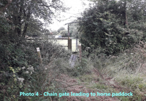
Follow the field margin with the edge to your left, heading for the field boundary in the distance. At the field boundary cross a footbridge and a small pedestrian chain gate just beyond (photo 4) which takes you into a private paddock.
Take care as there are horses here. Cross the paddock to another chain gate by the stables. Turn left through the gate to go behind the stables and the path takes you alongside the back of a house eventually bringing you into the front garden of the Burston Crown where you can enjoy an excellent selection of real ales and very good food.
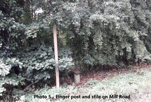
From the pub carpark head north up Mill Road for approx. 200metres and just before the Stables entrance on the right take the stile by a finger post and stile on the left-hand side of the road (photo 5).
Follow this path past a modern timber barn to a pedestrian gate; through the gate turn right heading for an old park bench. Turn left at the bench and after approx. 100metres you meet a green lane. Turn left here down past a paddock with donkeys to the main Diss Road in the village. Here turn left back to your starting point by the Strike School.
Happy walking and don’t forget keep to the footpaths, don’t pick any wildflowers and clear up after your four-legged companion, others will follow you and want to enjoy the countryside as hopefully you have done.